Capes Of The Canyons North Rim - Part 1
Capes Of The Canyons
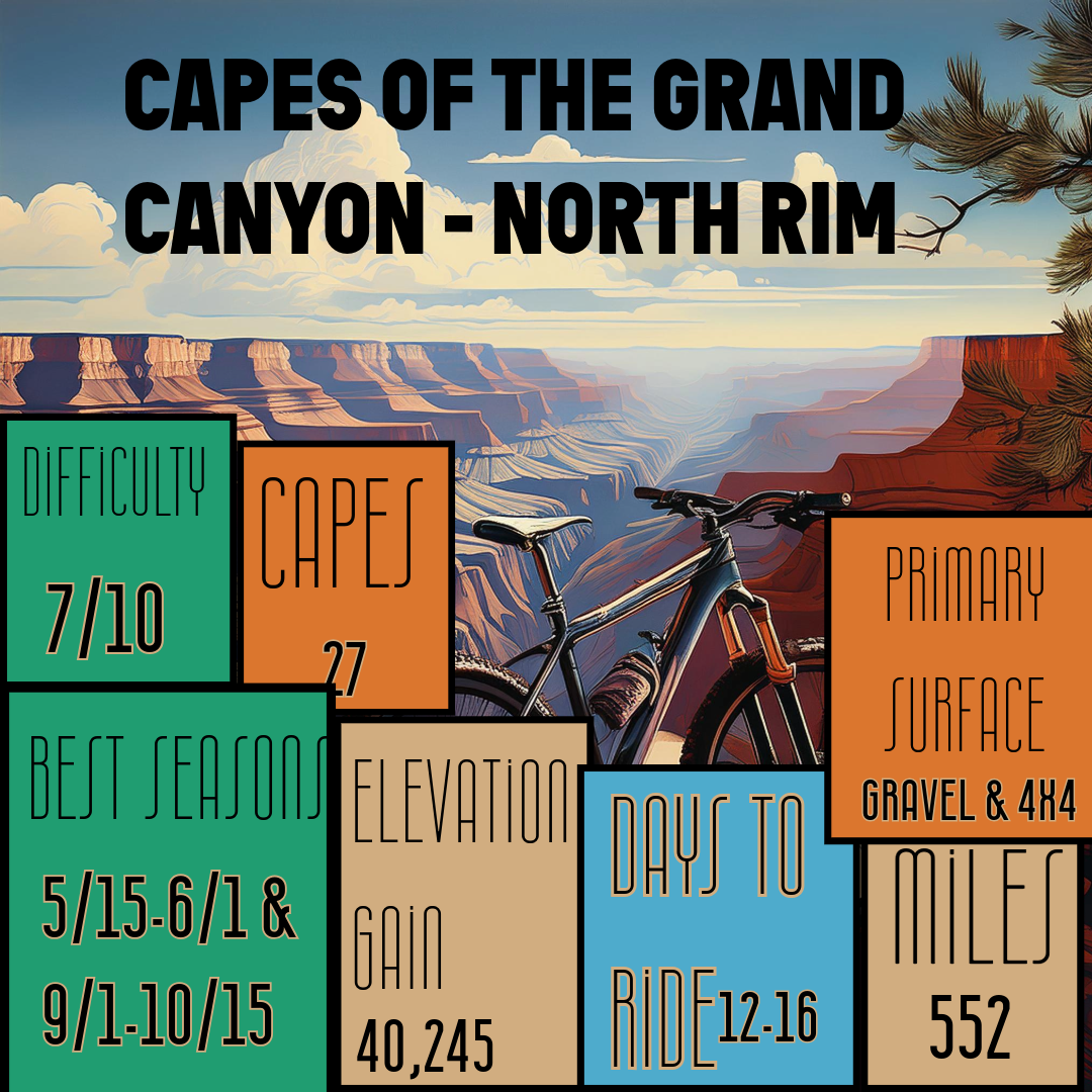
27 Capes 552 Miles. Endless Joy.
Capes Of The Canyons is the brain child of Forrest Radarian who is a school teacher at the Grand Canyon
"I've made it a personal goal to journal more of my experiences/memories not only for myself but for my family, friends, and anyone else interested in learning about a given route. This is especially true as time moves forward and the sharp lines of experiences begin to blur; writing then becomes my attempt to maintain those details."
You can learn more about Forrest over at his personal blog.
A quick asterisk here folks. **Bicycles prohibited on North Rim Grand Canyon NP roads from Dec. 1 until May 15. You can start the route prior to May 15 as it's 350 miles before you'll reach the Park boundary, but be sure not to enter the roads of Grand Canyon NP before that date.
Now, let's get into the route!
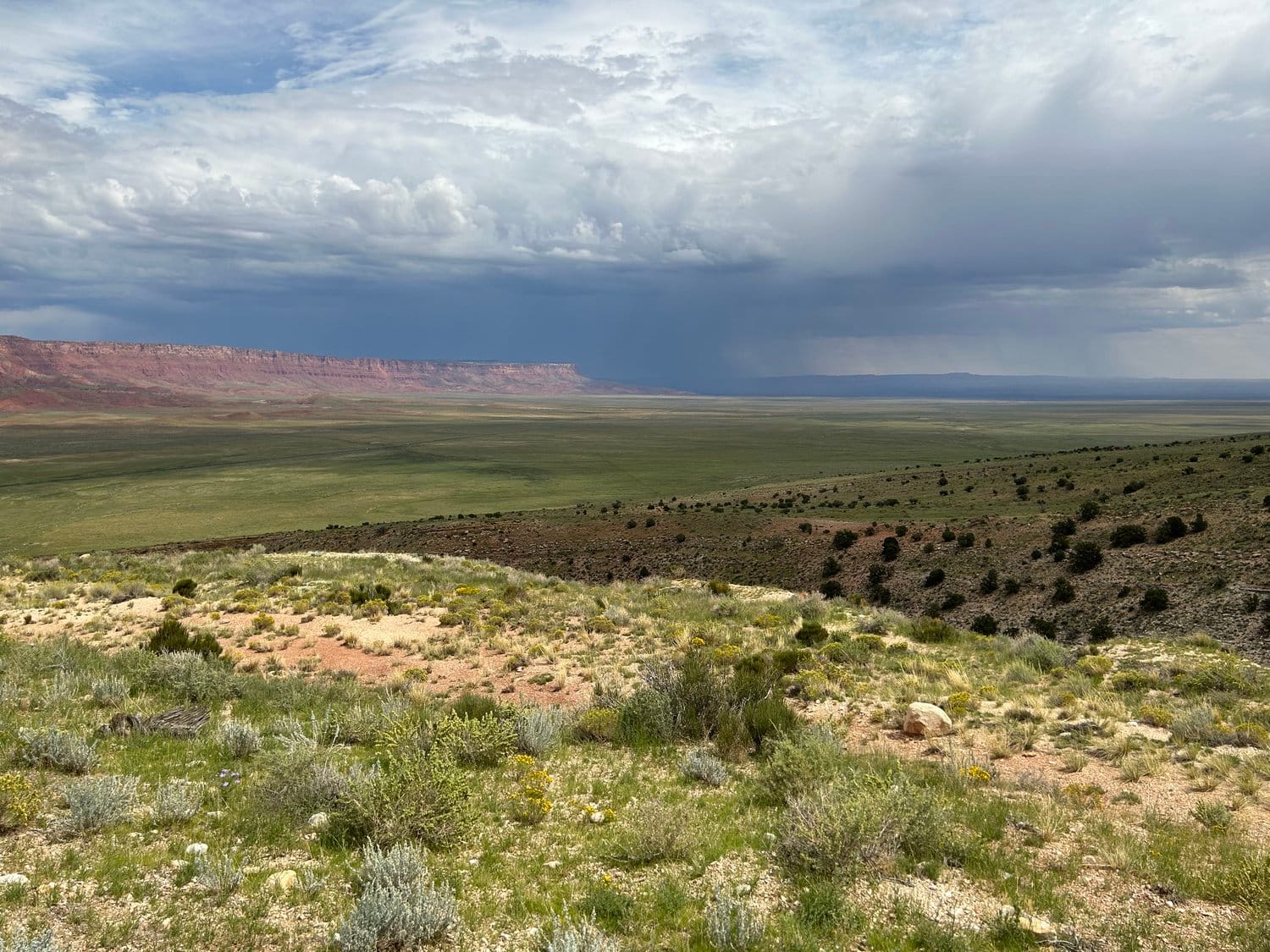
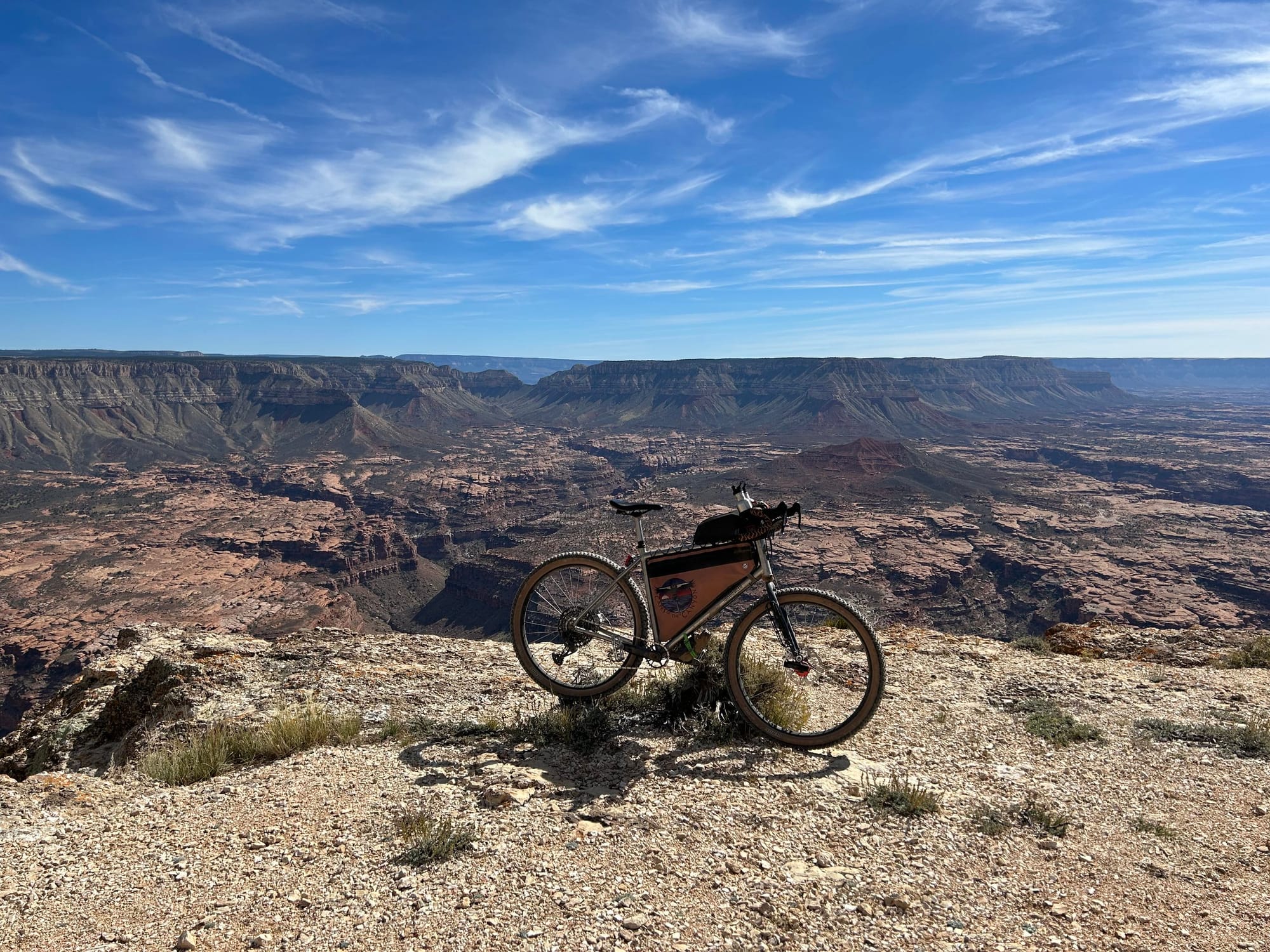
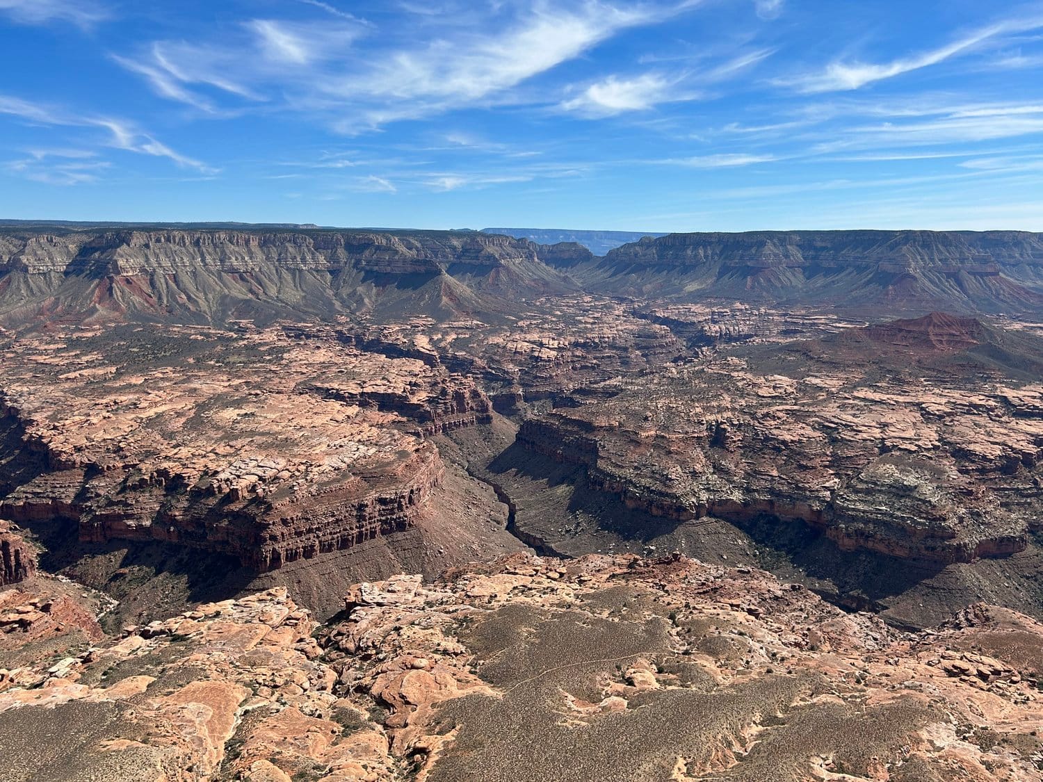
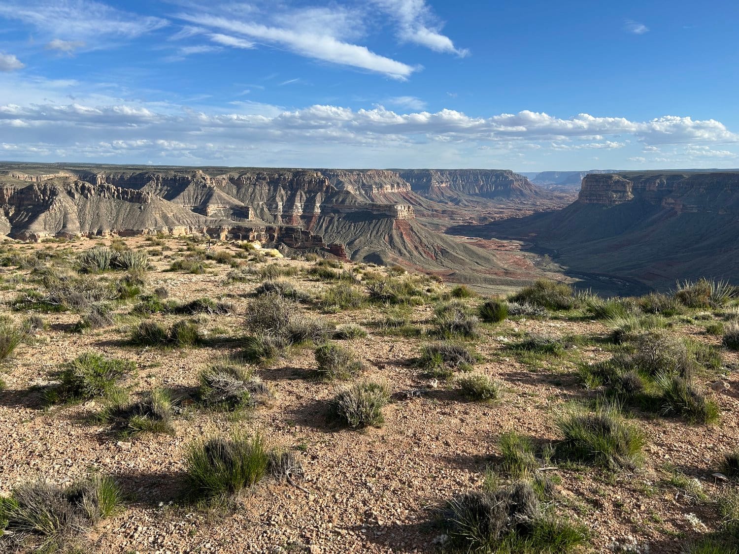
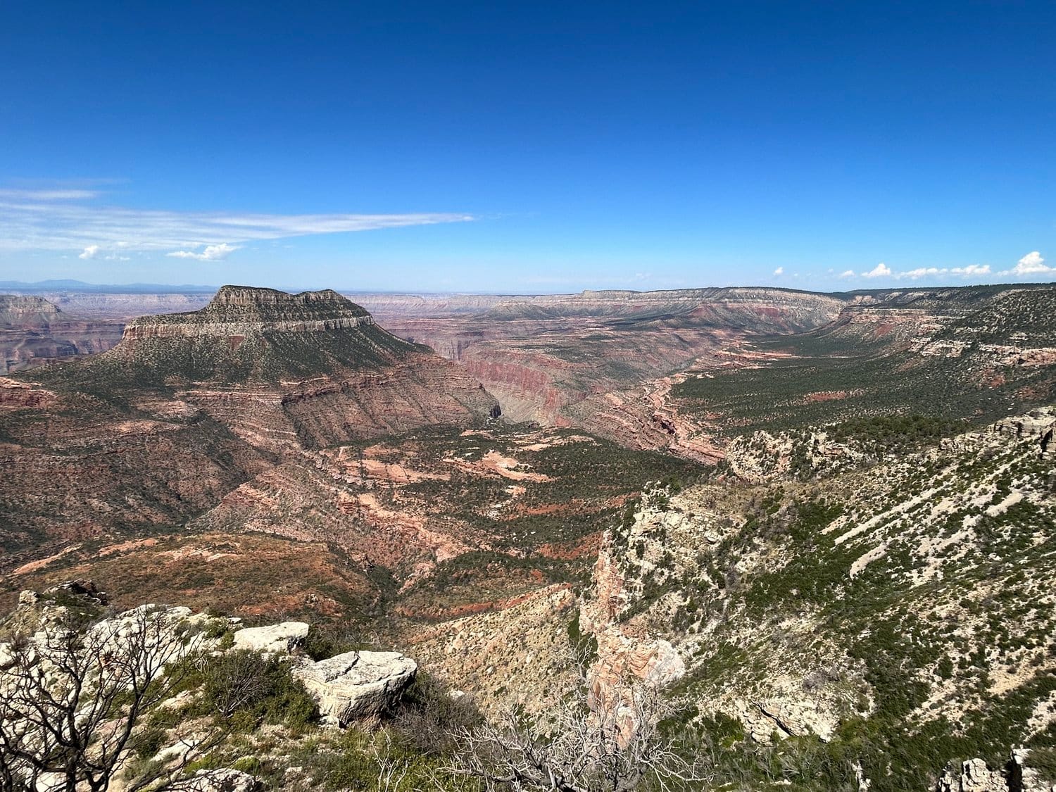
The Capes of the Canyon Route delivers a remote bikepacking adventure across the rugged beauty of the North Rim. Starting near Vermilion Cliffs, the route climbs to the high-altitude forests and meadows of the Kaibab Plateau, circling the rim of the Grand Canyon via dirt roads and forest tracks. Riders are treated to stunning canyon viewpoints like Crazy Jug, Point Sublime, and Cape Royal, along with serene trails like the Rainbow Rim singletrack.
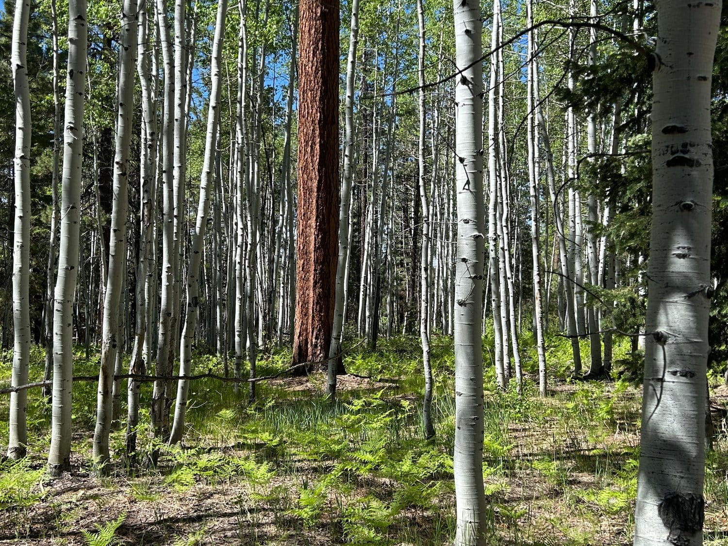
Expect dispersed camping along the rim, rides through aspen groves and ponderosa forests, and chances to explore hidden gems like Jumpup cabin or the Arizona Trail. This route is a backcountry dream, blending iconic canyon vistas with the solitude of high-country wilderness.
Surface Color Key
-
Purple = Improved Dirt Surface (Frequently Maintained, Usually Smoother)
-
Red = Rugged Dirt Surface (Infrequently Maintained, Typically Rougher/Rockier)
-
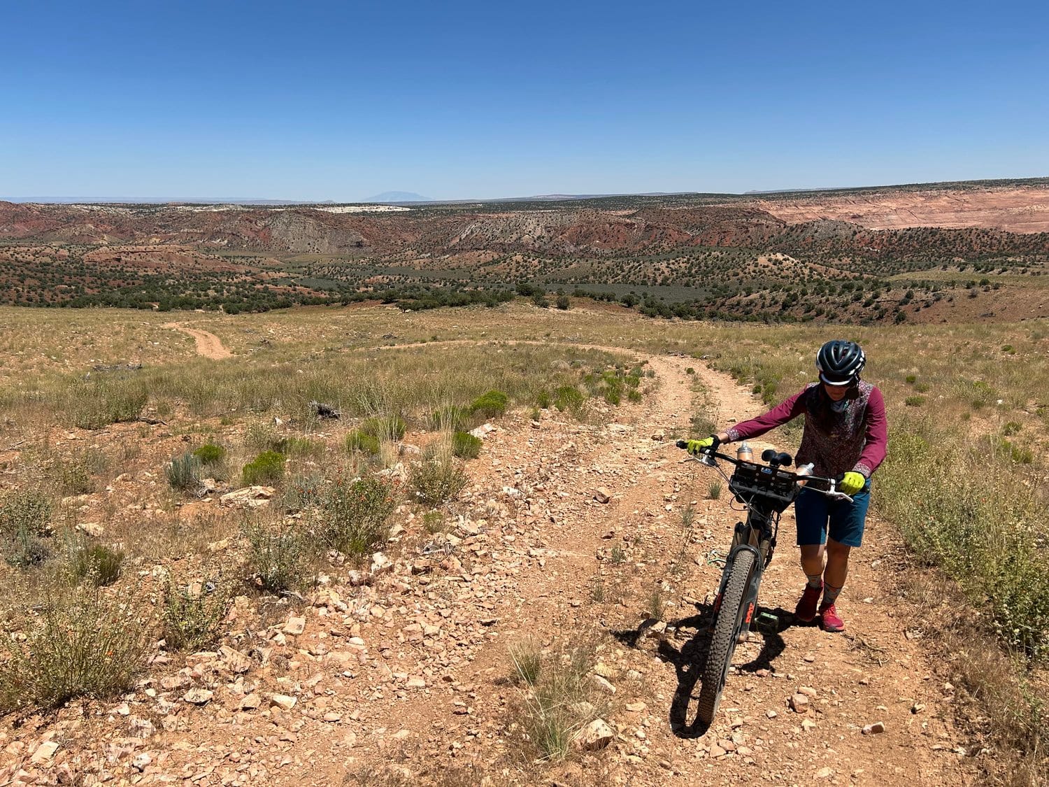
Brown = Primitive Dirt Surface (Rarely/Never Maintained, Particularly Rocky/Rutted/Eroded)
-
Black = Singletrack
-
Blue = Vehicular Pavement
-
Green = Dirt Multi-Use Path
Alerts and Closures
Riding in the Southwest means navigating a landscape shaped by wildfires, flash floods, monsoon storms, extreme heat, and even blizzards. Route conditions can change rapidly, and land management agencies like Grand Canyon National Park, Kaibab National Forest, and the Bureau of Land Management may issue closures that impact access.
Before you ride, always check the latest alerts and closures through the links below. Be ready to adapt by using physical maps to plan alternate routes if needed.
Recommended Maps
For reliable navigation, these detailed maps are worth having:
- Grand Canyon East (National Geographic Map #262)
- Paria Canyon, Kanab (National Geographic Map #859)
- Kaibab National Forest - North Kaibab District
- Kaibab National Forest - Tusayan and Williams Districts
Route Design Philosophy and Vision
This isn’t a point-to-point grind—it’s a meandering journey designed to immerse riders in the essence of the Grand Canyon’s North Rim. The route wraps and weaves, uncovering both iconic overlooks and hidden gems. It’s built for those who ride not just to move, but to connect deeply with the land—its biodiversity, its scents, its textures, and its stories.
Geographically, a "cape" is a high point of land extending into water. The Grand Canyon, with its sheer rims plunging into a mile-deep void, feels like a land-ocean hybrid—a sunken range, an inverted mountain. On this route, each cape is a perch into geological time, a front-row seat to the canyon’s vastness.
The primary goal? To take you to as many of these capes as possible. Your mission? Hit them all, linger, and let their beauty sink in. You could trim the route to save time, but each skipped overlook means missing a unique slice of landscape, culture, and history. Take your time—this ride is about more than the miles.
Route Passages
Segment 1 - Jacob Lake
Segment 2 - Vermillion Cliffs
Segment 3 - Buckskin Mountains
Segment 4 - Gunsight
Segment 5 - Big Springs
Segment 6 - Jump Up
Segment 7 - Sowats and Thunder River
Segment 8 - Crazy Jug
Segment 9: Rainbow Rim
Segment 10 - Dry Park
Segment 11 - Fire and Swamp
Segment 12 - Point Sublime
Segment 13 - Cape Royal
Segment 14 - East Rim
Segment 15 - Demotte and Dog
Segment 16 - Spine of The Kaibab
Start at Murray Lake Trailhead near Jacob Lake on the northern Kaibab Plateau.
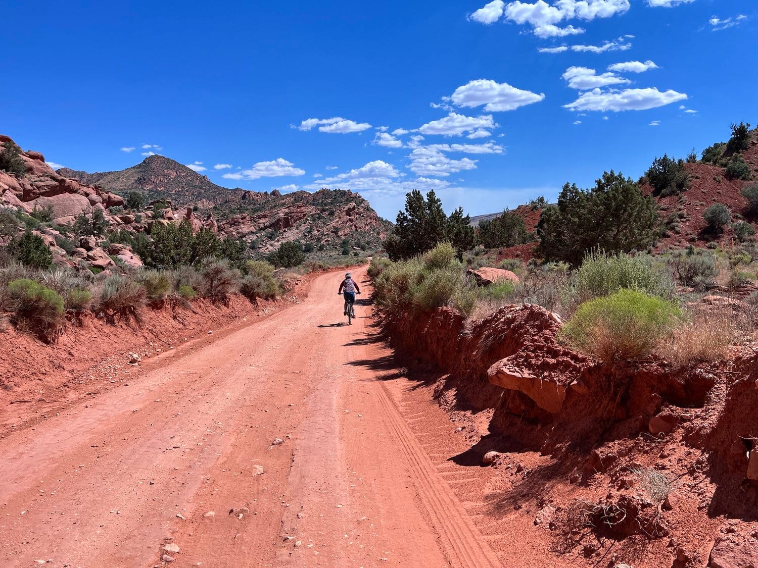
Park here for long-term use. Ride through ponderosa forests on smooth dirt roads descending toward Highway 89A, a thrilling 11.5-mile descent into House Rock Valley with stunning views of Vermilion Cliffs. Turn onto House Rock Valley Road, passing the Condor Viewing Site and Coyote Valley, before reaching Stateline Campground and crossing into Utah.
Head south, reentering Arizona through the Buckskin Mountains. Cycle past the Grand Staircase Escalante National Monument to Fredonia, AZ for supplies. Continue on FR 22, climbing back toward the Kaibab Plateau and detour to Gunsight Point for views of Kanab Creek Wilderness. Reach Jacob Lake for rest and refueling.
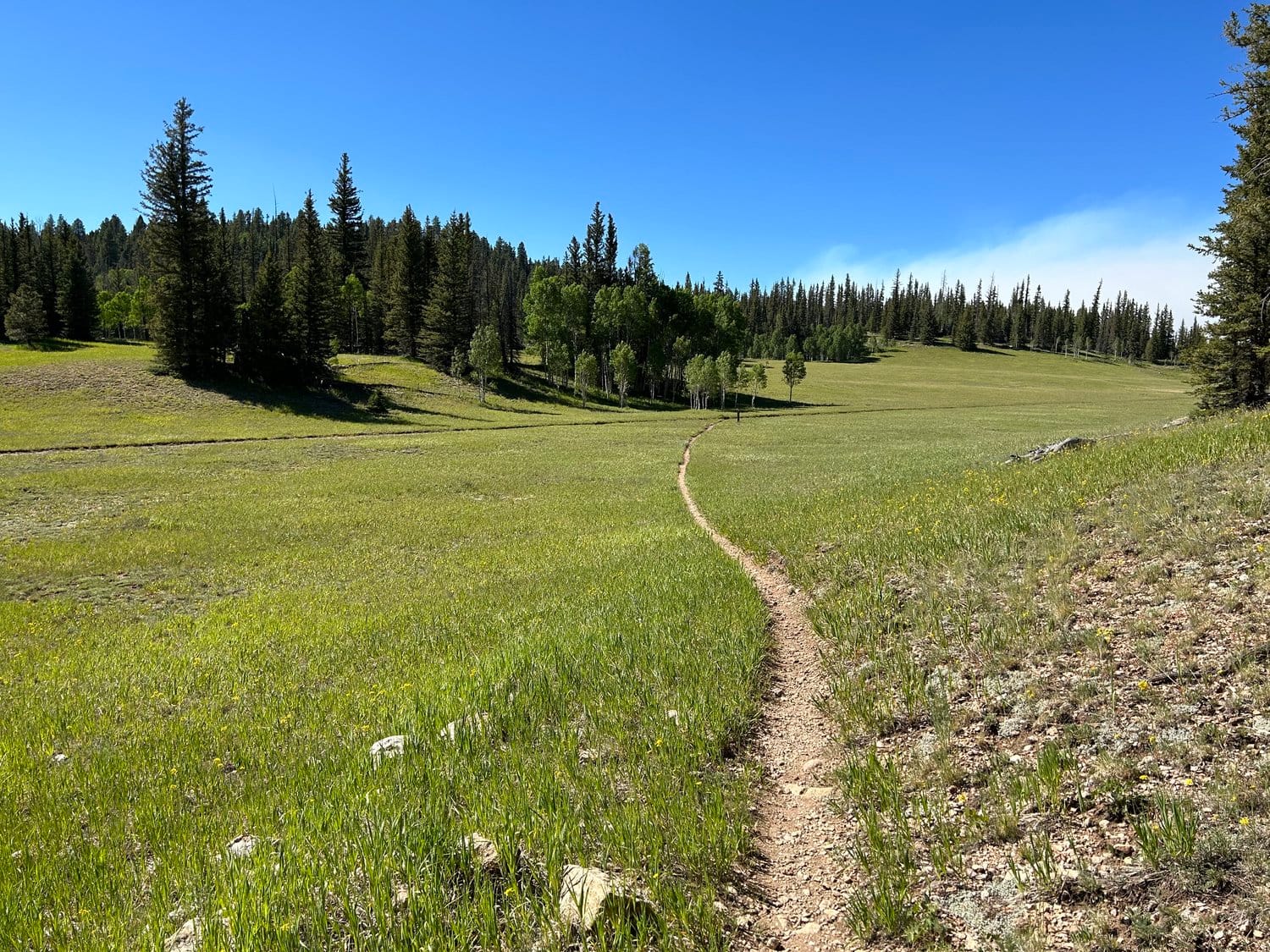
Ride through dense forests and meadows, detouring to Big Springs for water. Navigate the Jumpup Divide to visit scenic Sowats Point and Crazy Jug Point with Grand Canyon views. Continue toward Parissawampitts Point to access the Rainbow Rim Trail, offering singletrack rides along the Grand Canyon’s edge.
Climb high through Dry Park and Demotte Park, resupplying at North Rim Village. Enjoy vistas at Point Sublime and Cape Royal, with stops at Angel’s Window and Point Imperial. Follow the Arizona Trail (AZT) through forests to Marble Viewpoint, offering breathtaking panoramas.
Return on the AZT, passing East Rim Viewpoint, before the final stretch through meadow bowls and subalpine forests. The route concludes at the Murray Lake Trailhead, where your adventure began.
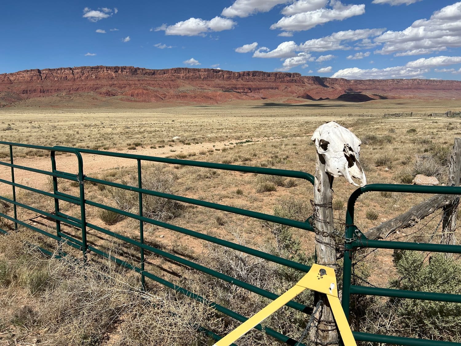
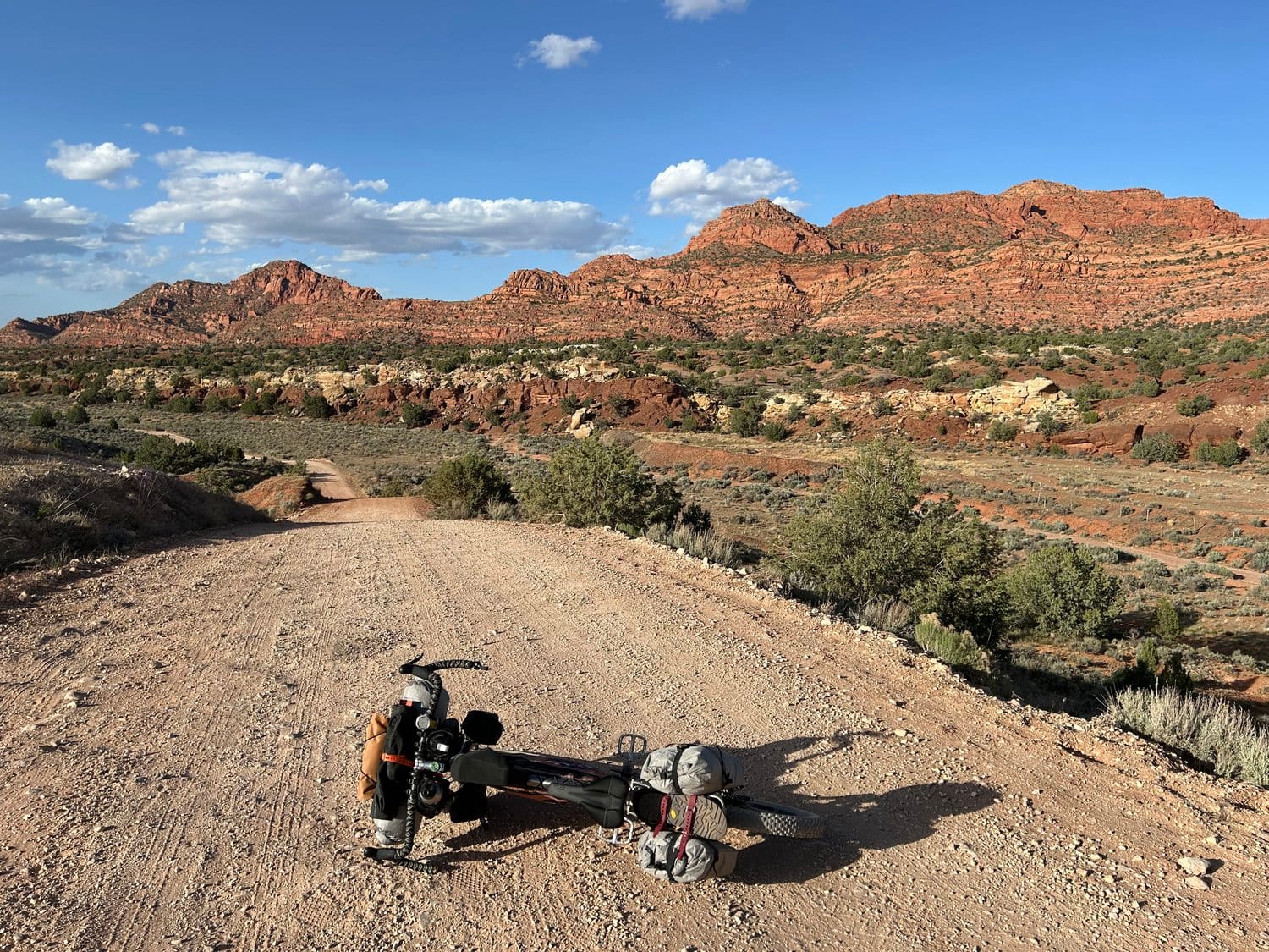
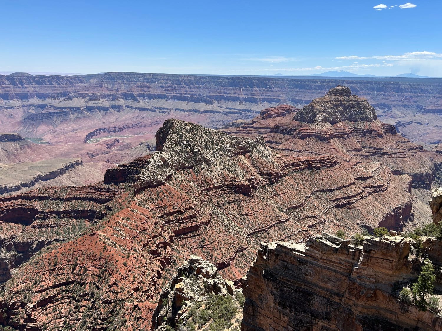
Highlights: Vermilion Cliffs, Condor Viewing Site, Grand Staircase, Rainbow Rim Trail, North Rim Village, Point Sublime, Marble Viewpoint.
Enjoy challenging climbs, remote landscapes, and unparalleled Grand Canyon views!
9. Route Difficulty, Surface Conditions, and Recommended Direction
The North Rim Capes of the Canyon route presents a challenging yet rewarding experience for bikepackers. Spanning approximately 551 miles with an elevation gain of around 40,180 feet, the route demands physical endurance and technical skill. Riders will encounter a variety of surfaces, including improved dirt roads, rugged and primitive dirt tracks, singletrack trails, and sections of pavement. The terrain varies from smooth, well-maintained paths to rocky, rutted, and eroded segments, requiring careful navigation and sturdy equipment.
For an optimal experience, it's recommended to ride the route clockwise. This direction aligns with the natural flow of the terrain and maximizes the scenic viewpoints along the way.
10. Optimal Riding Seasons (Temperature and Climate)
The best time to embark on this journey is between late May and mid-October. During this period, the North Rim is accessible, and temperatures are generally favorable for long-distance cycling. However, weather conditions can vary significantly due to the route's elevation changes. Riders should be prepared for potential thunderstorms, especially during the monsoon season in late summer, and cooler temperatures at higher elevations.
11. North Rim vs. South Rim
The North Rim offers a more secluded and tranquil experience compared to the busier South Rim. Its higher elevation results in cooler temperatures and lush, forested landscapes. The North Rim is also less developed, providing a more rugged and immersive adventure. However, services and amenities are more limited, so thorough planning is essential.
12. Connecting Routes
For those looking to extend their journey, connectors are available to link the North and South Rim routes. These connectors vary in difficulty and terrain, offering options for riders seeking additional challenges or alternative paths. Detailed information on these connectors can be found on the official route guide.
13. Ecoregions and Landscape
The route traverses diverse ecoregions, from arid desert basins to subalpine forests. Riders will experience a range of landscapes, including expansive meadows, dense aspen groves, and dramatic canyon vistas. This diversity not only enhances the visual appeal but also introduces varying environmental conditions that riders should be prepared for.
14. Bike Access and Restrictions
While the route primarily follows bike-legal paths, certain areas within Grand Canyon National Park have restrictions. Bicycles are prohibited on all inner canyon trails and some specific viewpoints. It's crucial to consult the latest park regulations and respect all signage to ensure compliance and preserve the natural environment.
15. Cultural Significance and Land Acknowledgment
The lands encompassed by this route hold deep cultural and historical significance for various Native Nations, including the Havasupai, Hualapai, Navajo, Hopi, and Paiute tribes. Riders are encouraged to approach their journey with respect and awareness of these rich cultural histories. Engaging with local communities and learning about their heritage can enrich the overall experience.
16. Leave No Trace Principles and Bikepacking Ethics
Adhering to Leave No Trace principles is paramount. This includes packing out all waste, minimizing campfire impacts, respecting wildlife, and being considerate of other visitors. Staying on designated trails and campsites helps preserve the delicate ecosystems and ensures the route remains sustainable for future adventurers.
17. Water Sources
Water availability varies along the route. While some sections have reliable sources like Big Springs, others may have limited or seasonal availability. It's essential to carry sufficient water and have the means to treat natural sources. Regularly consulting updated water source information and planning resupplies accordingly will help prevent dehydration.
18. Camping Options
The route offers a mix of developed campgrounds, dispersed camping opportunities, and backcountry sites. Developed campgrounds provide amenities like water and restrooms but may require reservations. Dispersed camping is allowed in certain areas, typically within national forests, but requires adherence to specific regulations. Backcountry camping within Grand Canyon National Park necessitates a permit, which should be obtained in advance.
19. Food and Resupply Points
Resupply points are sparse along the route. Key locations include Jacob Lake, Fredonia, and the North Rim Village. These points offer limited supplies, so carrying sufficient food between resupplies is crucial. Planning meals and understanding the distances between resupply points will aid in maintaining energy levels throughout the journey.
20. Sample Itinerary
A typical itinerary might span 10 to 14 days, depending on pace and daily mileage. For example:
- Day 1-2: Murray Lake Trailhead to Stateline Campground
- Day 3-4: Stateline to Fredonia
- Day 5-6: Fredonia to Jacob Lake
- Day 7-8: Jacob Lake to Big Springs
- Day 9-10: Big Springs to North Rim Village
- Day 11-12: North Rim Village to Marble Viewpoint
- Day 13-14: Marble Viewpoint to Murray Lake Trailhead
This itinerary is flexible and should be adjusted based on individual fitness levels, weather conditions, and personal preferences.
21. Fees and Permits
Entry to Grand Canyon National Park requires a fee, which can be paid at the entrance or online. Backcountry camping within the park necessitates a permit, obtainable through the park's Backcountry Information Center. Some developed campgrounds and cabins along the route may also require reservations and associated fees. It's advisable to secure all necessary permits and reservations well in advance, especially during peak seasons.
For an absolutely exhaustive planning resource visit the original route page. The amount of care that went into creating this route is astounding. If you do ride this route please tread with care and leave things better than you found them. Canyon Country is a special place and it requires care. Do not tread on Cryptobiotic soils, pack out waste, and don't be a jerk.

Comments ()